Mapping the Sawkill Watershed Project: art, ecology, and free community events along the Creek. Learn more.
Mapping The Sawkill Walking Tour #2 | Explore Little Deep to Big Deep
Sat, Sep 26
|Little Deep Parking Lot
with Beth Reicheld
Time & Location
Sep 26, 2026, 11:00 AM – 1:30 PM
Little Deep Parking Lot, Zena Rd, Woodstock, NY, USA
About the event
Meet in the parking lot. Please arrive 10 minutes early so we can begin promptly at 11:00 AM.
Wear comfortable shoes that can enter the water.
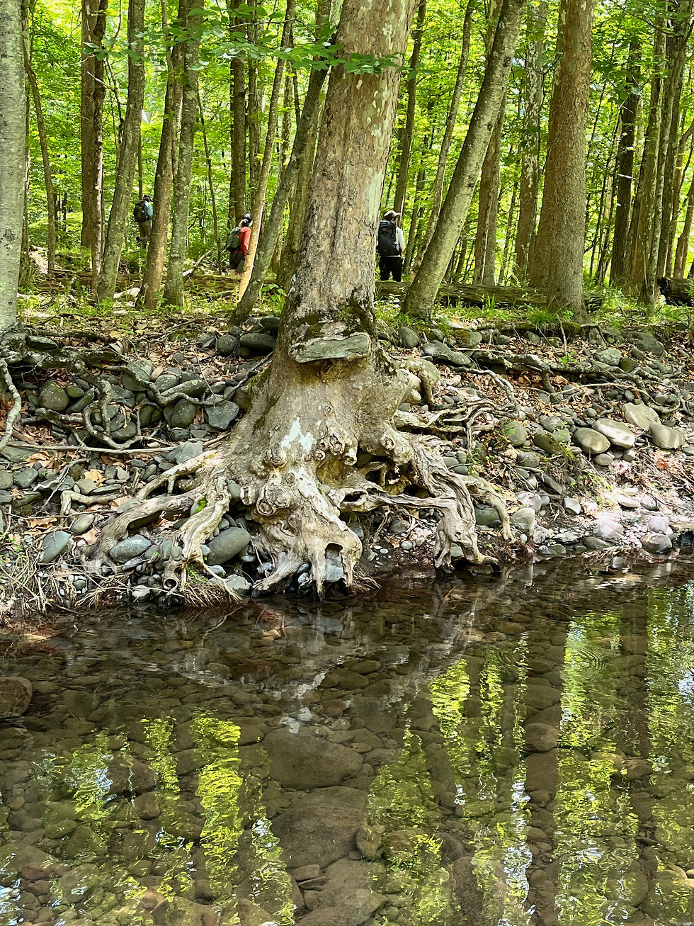
As part of the Mapping the Sawkill Watershed Project, join stream scientist Beth Reichheld for the second guided walking tour in the Sawkill series, this time exploring the stretch from Little Deep to Big Deep. Participants will walk through sections of the creek's riparian corridor and adjacent terrain, tracing the living infrastructure of water, how it moves through land, forest, soil, and community, and gaining a deeper understanding of how local ecology connects to Woodstock's drinking water supply.
Beth Reichheld served as director of the NYC DEP Stream Management Program (SMP) for over 30 years, working with county soil and water conservation districts managing rivers and floodplains throughout the Catskills using an approach that reduces erosion and flood risks, protects infrastructure, and improves habitats and water quality. In collaboration with those living and working in the Catskills, the SMP and SWCDs built a science-based and proactive stream stewardship ethic and implemented stream restoration projects on dozens of miles of Catskill streams. Beth has served on the Woodstock Land Conservancy board, the Woodstock zoning and comprehensive planning committees, and helped develop the Catskills' wetland and watercourse ordinance. She earned her bachelor's degree in biochemistry from Bowdoin College and a master's degree in forest science from Yale.
What to Expect
A slow-paced, 2.5-hour guided walking tour
Ecological and watershed overview of the Sawkill system
Discussion of land use, water flow, and local environmental history
Time for questions, observation, and informal conversation
What to Bring
Comfortable walking shoes that can enter the water (uneven terrain in places)
Water bottle
Sun protection (hat/sunscreen)
Weather-appropriate clothing
Walking poles
Accessibility: This is a field-based walking experience across uneven terrain. If you have accessibility needs or questions, please reach out in advance so we can support participation where possible.
This walk is part of the Mapping the Sawkill Watershed Project, a multi-part initiative designed to build relationships with Woodstock's waterways and with one another through shared exploration, learning, and stewardship.